Maps
(Courtesy Of Seychelles Tourism Board)
Seychelles is located about 1000 miles east of Mombasa in Kenyan. Seychelles is in the same time zone as Dubai which is 4.5 hours by air in the northerly direction. Mauritius is due south of Seychelles whilst Mumbai is 4 hours north west.
All the three main Seychelles islands are granitic and are of different shapes and sizes. Due to our French heritage, names of most of the places in Seychelles are in French. Few names are in English e.g. our Capital Victoria which is on the main island of Mahe. View the various places of Seychelles by visiting the Maps of Mahe, Praslin and La Digue Islands.
The distance between Mahe and Praslin islands is 21 miles and it takes one hour by ferry and 15 minutes by air. It takes only 15 minutes by ferry to get to La Digue from Praslin Baie Sainte Anne jetty.
With an area of 60 square miles Mahe is the largest island in the Seychelles archipelago. Praslin is the second largest island with an area of 15 square miles. Whilst La Digue has an area of 4 square miles only.
The Seychelles only International airport is located on Mahe east coast and is capable of handling Boeing 747s. Praslin has a domestic airport as well as an Inter Island ferry terminal. La Digue has no domestic airport. Transfer to La Digue Island is by ferry or helicopter only.
Mahe Island

Mahe island
Praslin Island

Praslin island
La Digue Island

La Digue island
Seychelles Location

Seychelles Location
Mahe – Praslin – La Digue

Mahe – Praslin – La Digue
Cat Cocos Route Map

Cat Cocos Route Map
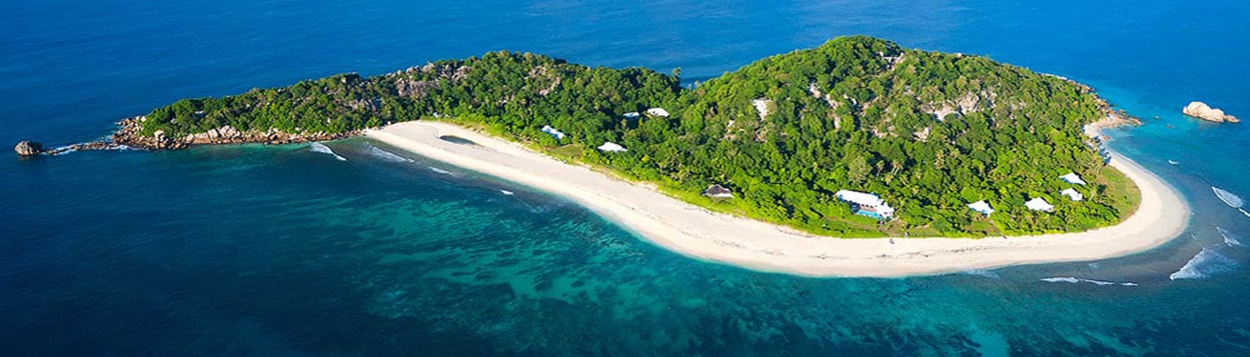
Islands Around Praslin & La Digue

Islands Around Praslin & La Digue
Praslin – La Digue Route Map
")
Praslin – La Digue Route Map
